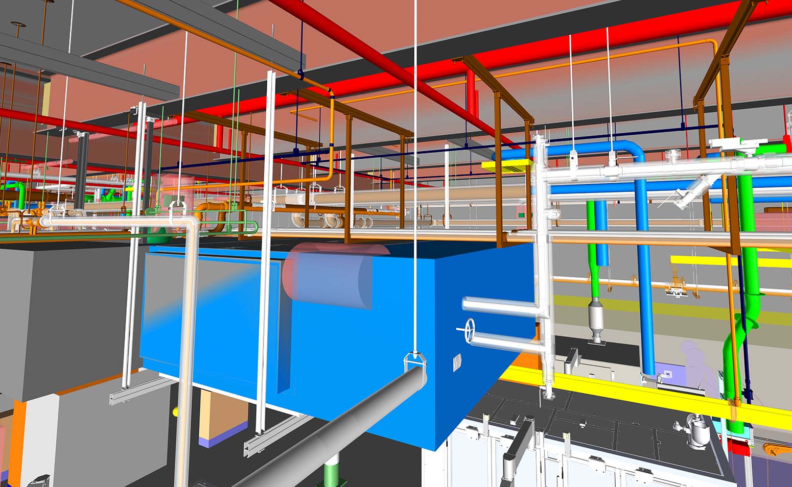
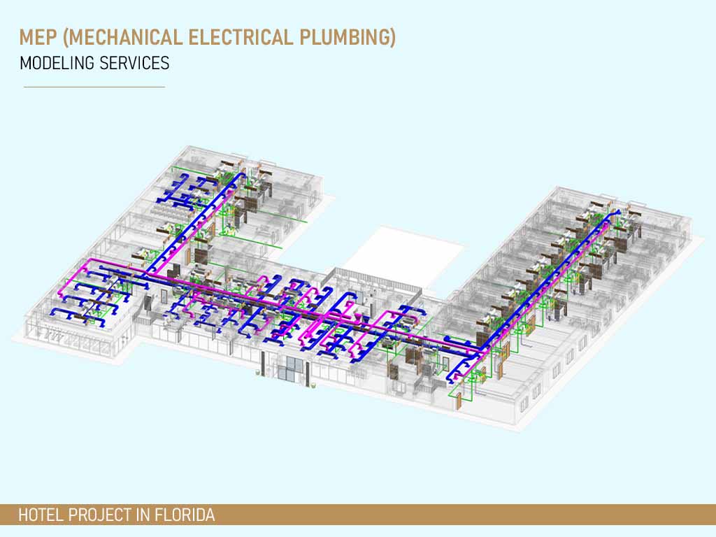
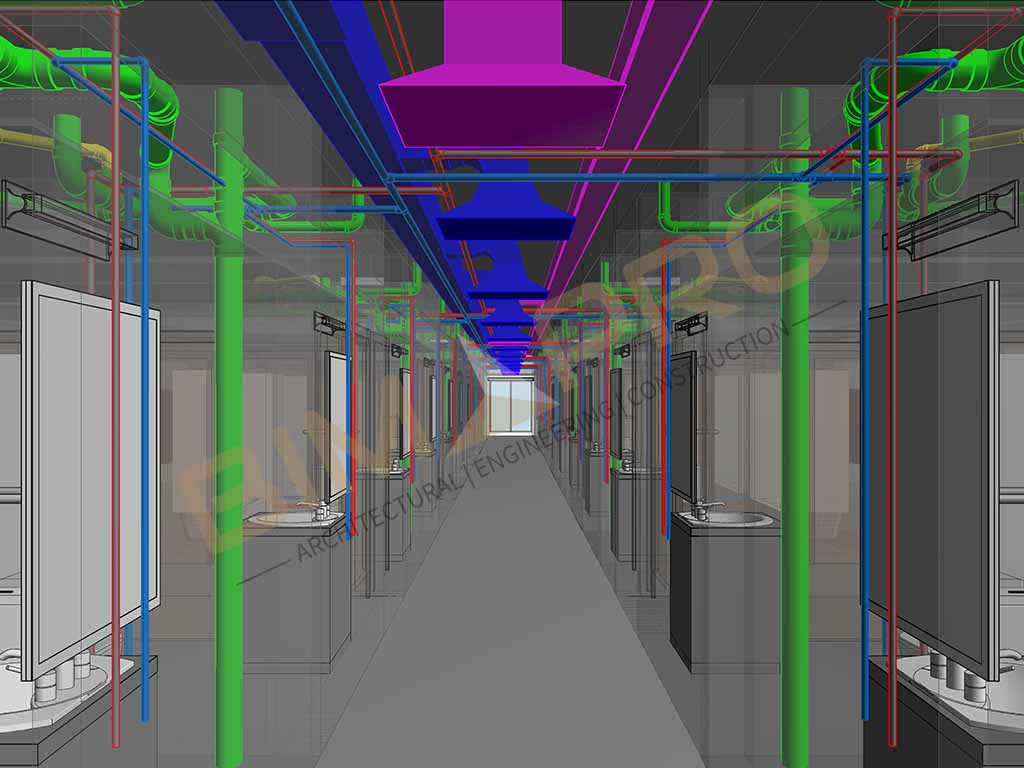
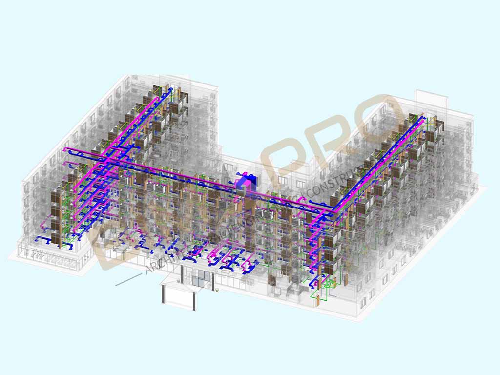
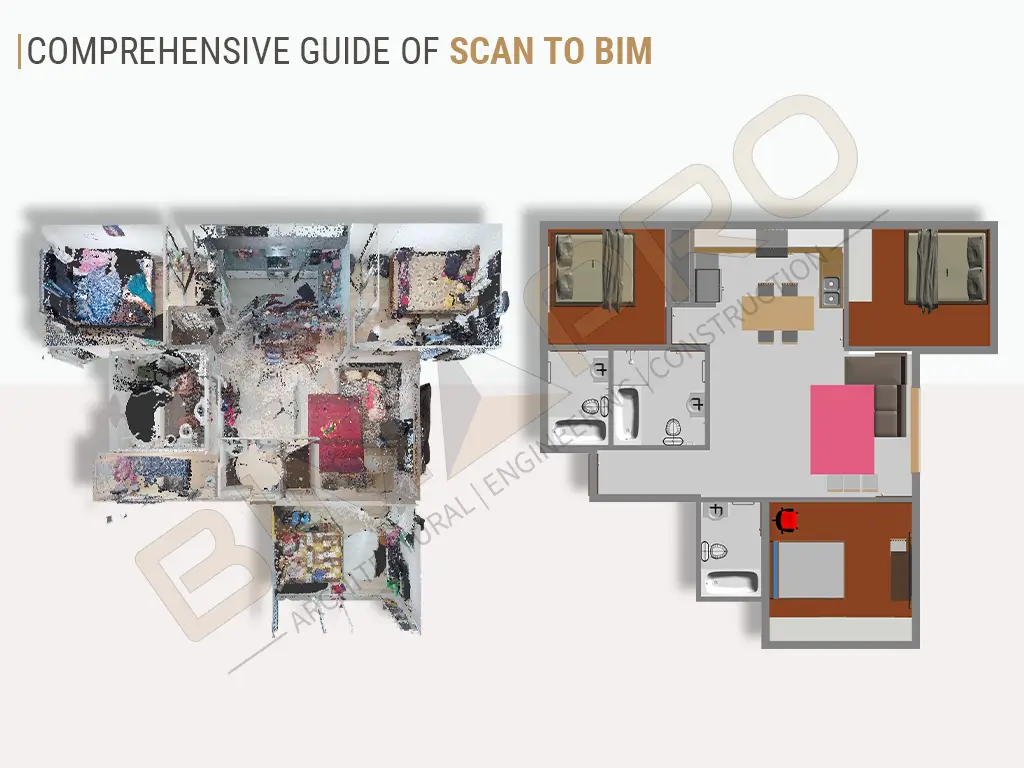
Scan to BIM Modeling for Warehouse Project in Texas


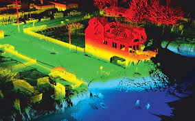
LiDAR uses laser beams to measure distances and create highly accurate 3D models. It's widely used for mapping, topography, and large-scale projects. Image Source: Towill
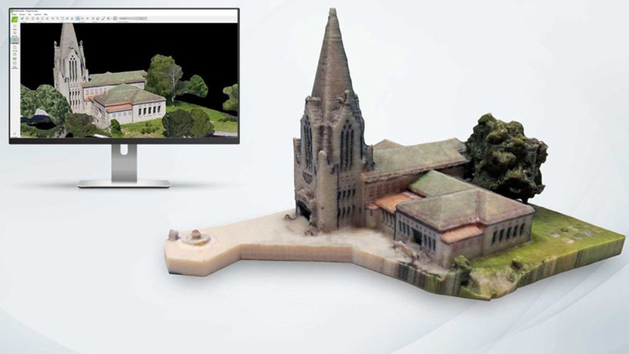
Photogrammetry relies on photographs taken from different angles to create 3D models. It's suitable for capturing textures and colors in addition to geometry. Image Source: 3D Natives
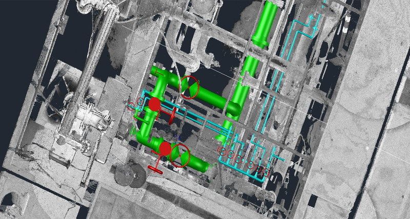
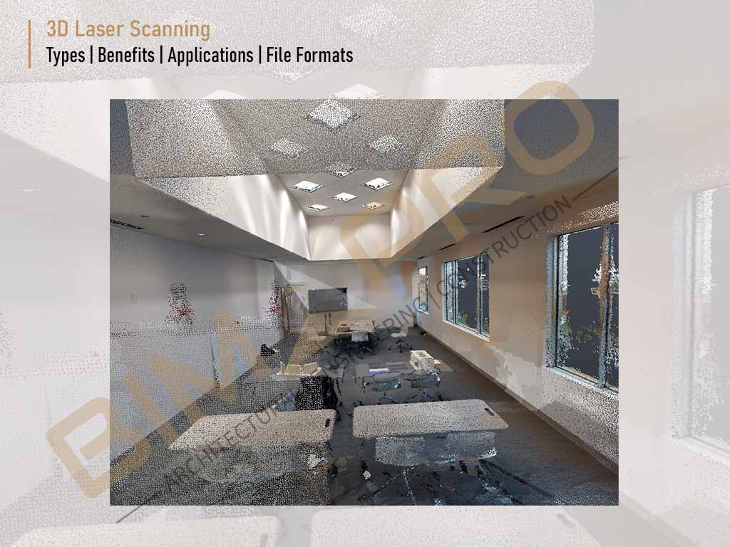
Laser scanning involves the use of laser light to capture millions of data points, resulting in detailed and precise 3D representations. It's often employed for architectural and structural documentation. Image Source: Leica Geosystem